Historical Monthly Climate Maps
Monthly climate maps dating back to the 1950s.
Select Map #1
Select Map #2
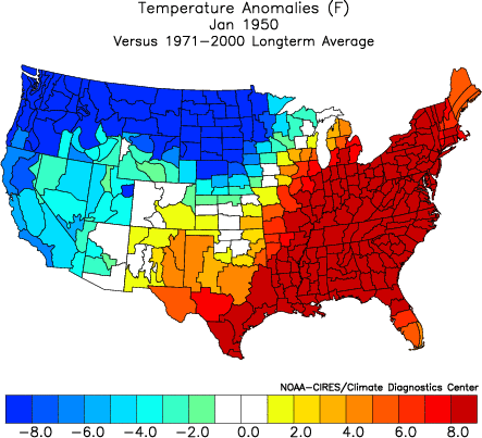
Temperature, precipitation and SST maps were created using plotting software available on the Climate Diagnostic Center's web page and are based on climate division data from the National Climatic Data Center. The data is provisional and is subject to correction by the NCDC at a later date. The snow cover maps are from Rutgers University Global Snow Lab. 1971-2000 and 1981-2010 climatology selection only applies to temperature and precipitation anomaly maps. The "Sync Maps" button allows both maps to be controlled by the first maps buttons that move forward or backward one month or year.